Coastal Erosion of Corinthian Gulf
Challenge
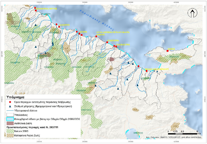
Physical processes, manmade interventions, miss planed coastal works and climate change have augmented costal erosion along the Corinthian Gulf and have given rise to numerous erosion-related problems in the area.
The aim is to investigate the mechanisms of coastal sediment transport, to identify the causes of erosion of the southern shores of the Corinthian Gulf and to provide a documented proposal of the appropriate measures and projects for this purpose, which will be environmentally licensed.
Approach
- Hydrological and sediment transport:
- Hydrological modelling of the fifteen main streams, taking into account current and planned manmade basin alternations. Investigations performed under current hydrological and hydro-morphological conditions while changes of the hydrological regime are investigated for two periods, the last fifteen and the last thirty-five years.
- Soil erosion estimations based on RUSLE modelling, data developed in the European Soil Data Centre and spatial displacement and transport of soil sediments, due to water erosion, modelling data from JRC.
- Sediment transport modelling for the estimation of stream sediment loading affecting the coastal sediment transport
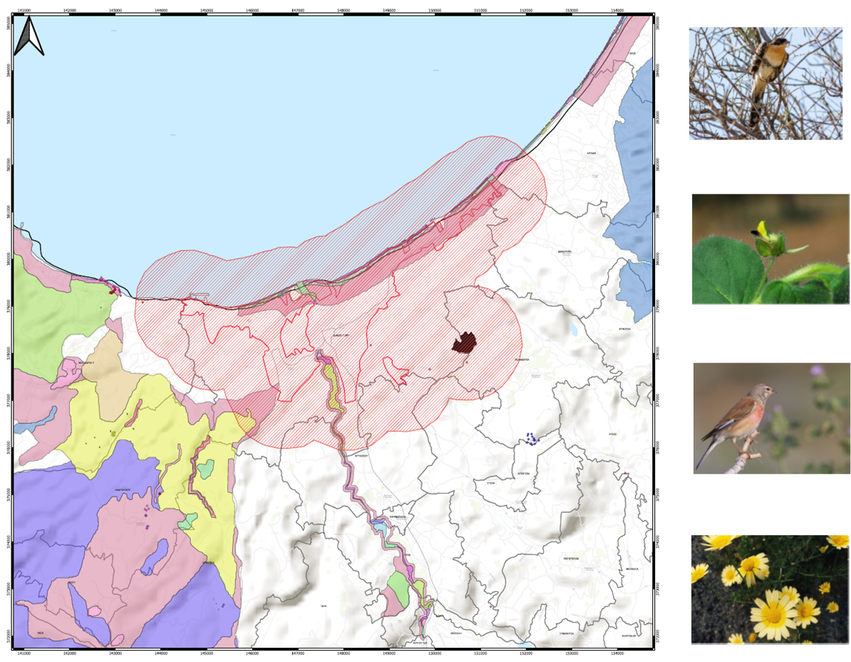
- Environmental impact assessments (EIA) for the proposed projects. The assessments include an estimate of the magnitude of the impact of all the activities proposed in the context of the coastal engineering study, including new as well as existing projects which either remain as they are or are modified or removed.
Impact
Limit and possibly reverse the corrosive mechanisms, in the parts of the coastline where they have been documented.
Redevelopment projects of the coasts used for recreation purposes.
Restore the environmental identity and attractiveness of the region.
The Study for the Treatment of Coastal Erosion along the Corinthian Gulf Coastline is undertaken by the consortium of FOTOPO SA – EDAFOMICHANIKI SA – EMVIS SA – HR WALINGFORD LTD


